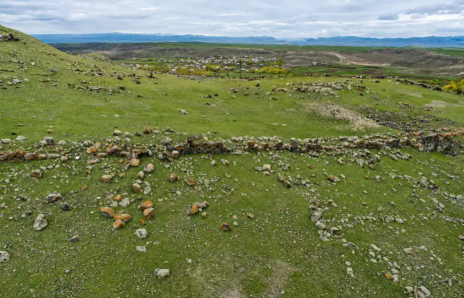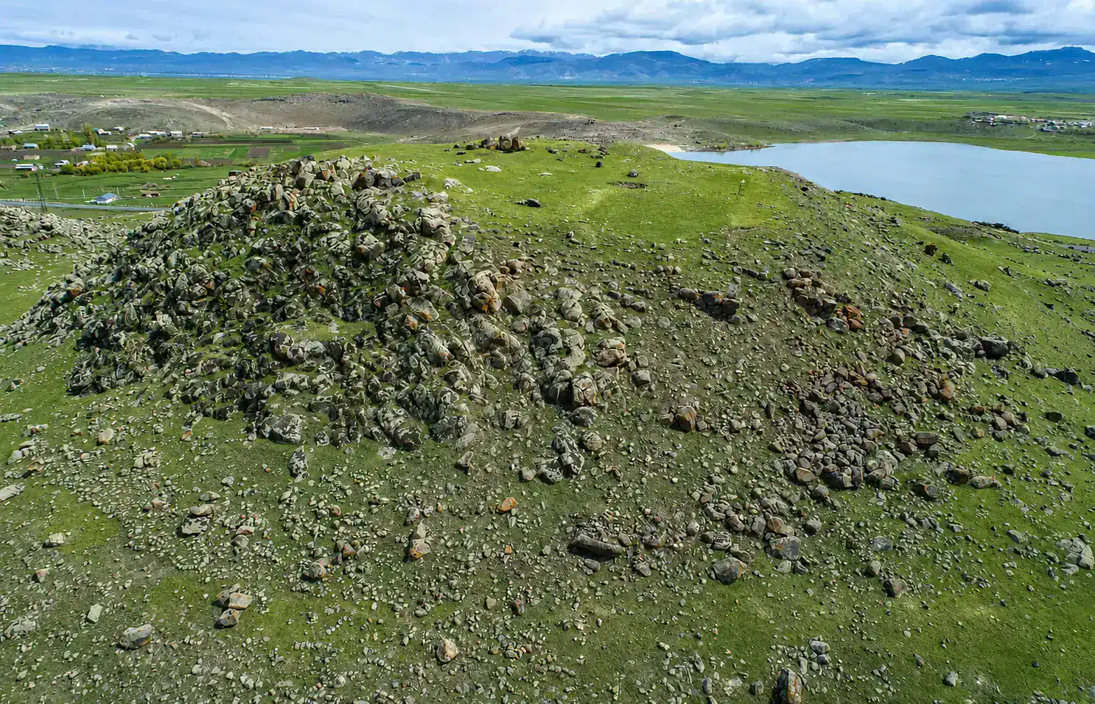
The Horom fortress-settlement site is located in the Shirak plain, near the village of Horom. The site is centered on two large hills arranged north–south, referred to in the archaeological literature as Horom North and Horom South. Excavations have documented several phases of habitation here, from the Early Bronze Age through the Late Bronze and Early Iron Ages, into the Urartian and later periods.
According to a study by Roberto Dan, both hills held fortified Early Iron Age complexes before the Urartian conquest. After the spread of Urartian power, the Southern hill and the area between the two hills fell out of use in the 8th–7th centuries BC, while a new, large Urartian fortress was built on the Northern hill.
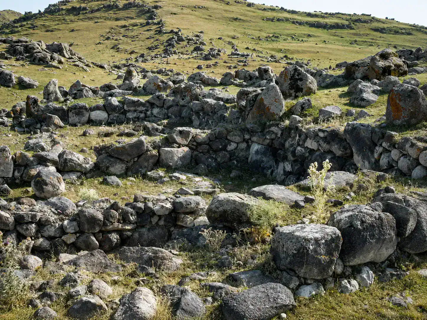
The standing walls of the site are built of large stones in cyclopean masonry, and the fortification system of the Southern hill shows defensive walls descending in succession down the slope. At the same time, excavations have shown the site was not purely defensive — traces of antler-working have been found at Horom South, indicating that production activity took place within the fortified area.
The Urartian fortress built on the Northern hill covered about 3.57 hectares. Its walls do not fully follow the strict rectilinear plan typical of Urartian fortresses, instead following the hill's natural shape in places. Features typical of Urartian construction appear here, including regularly spaced buttresses and masonry of semi-dressed stones.
On one of the pottery handles found at Horom, the sign known as TmP (Turm mit Pflanze, "tower with plant") has been preserved.
The Horom burial field is an important component of the site. In 1989–1990, in the flood zone of the Artik reservoir, special excavations were carried out here and Early Iron Age burials were studied.