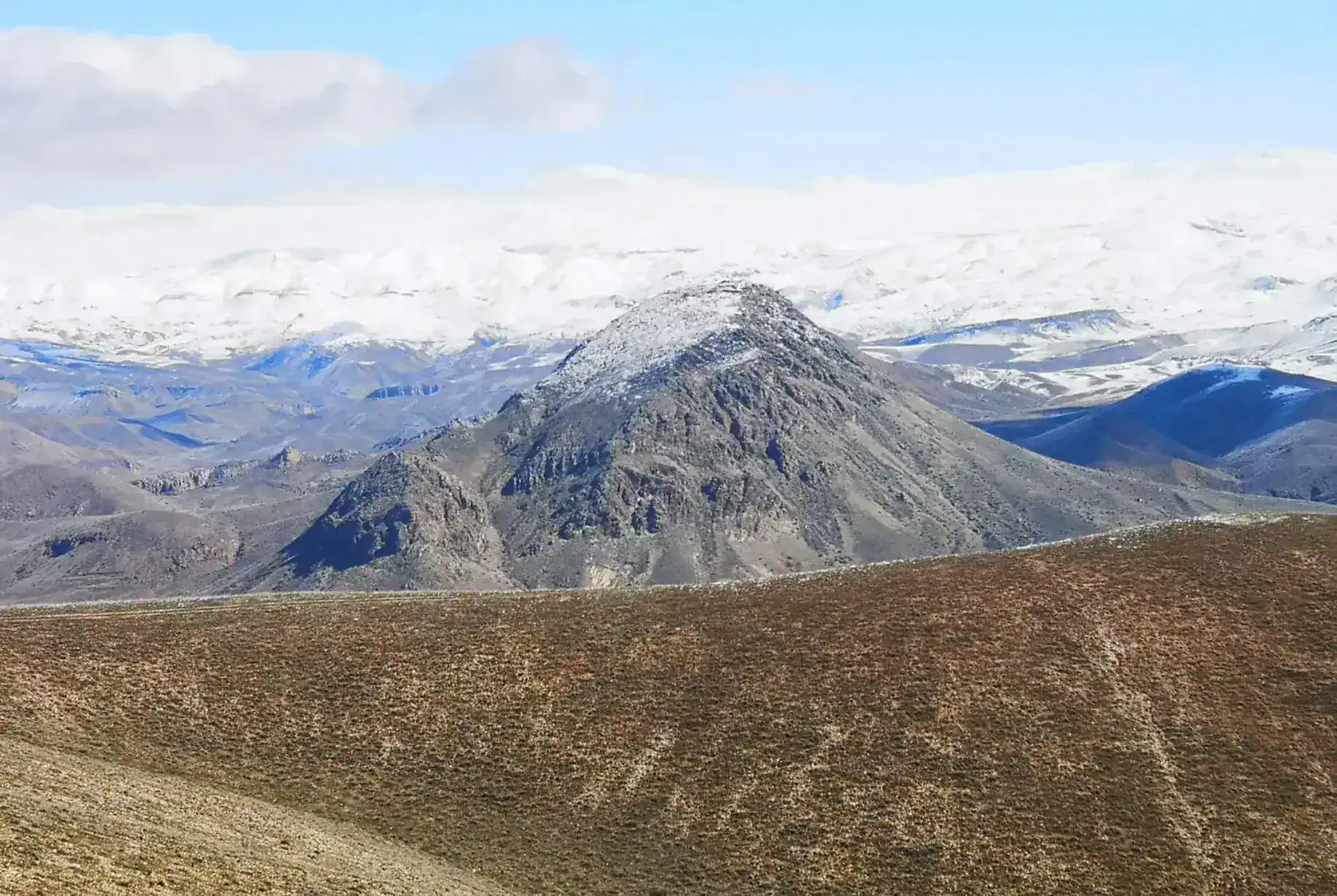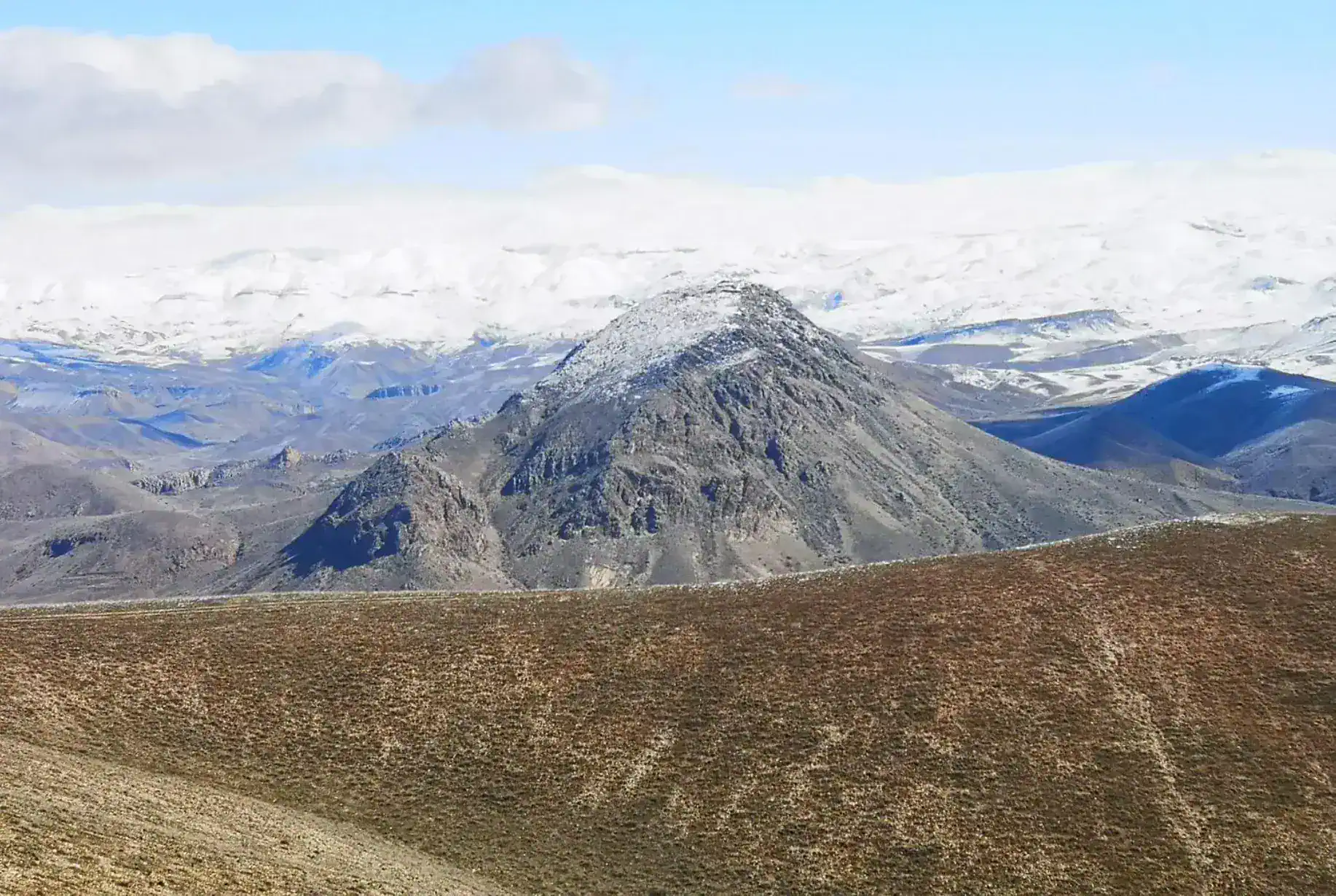
Rising to approximately 1,419 meters above sea level, Mount Yerakh is located in Ararat Province, about 6 km northwest of Vedi. The mountain forms part of the Yerakh mountain system, which extends through the southern foothills of the Geghama mountain range and creates a striking transition between the Ararat Plain and the surrounding uplands.
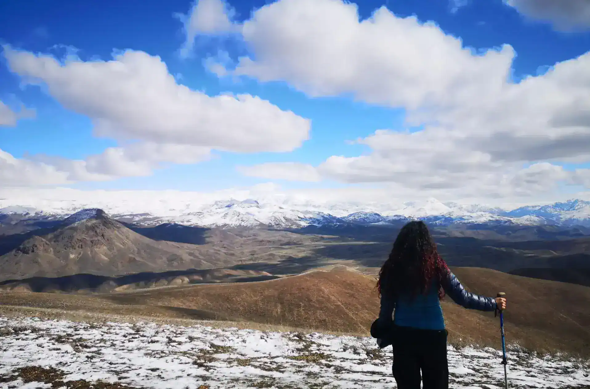
Despite its moderate elevation, Yerakh stands out because of its position above the Ararat Plain. From the mountain and its surrounding ridges, hikers can enjoy broad views toward Mount Ararat, Mount Aragats, the Geghama Mountains and the plains below. The combination of relatively accessible terrain and open panoramic views has made Yerakh a popular destination for hiking trips and mountain excursions.
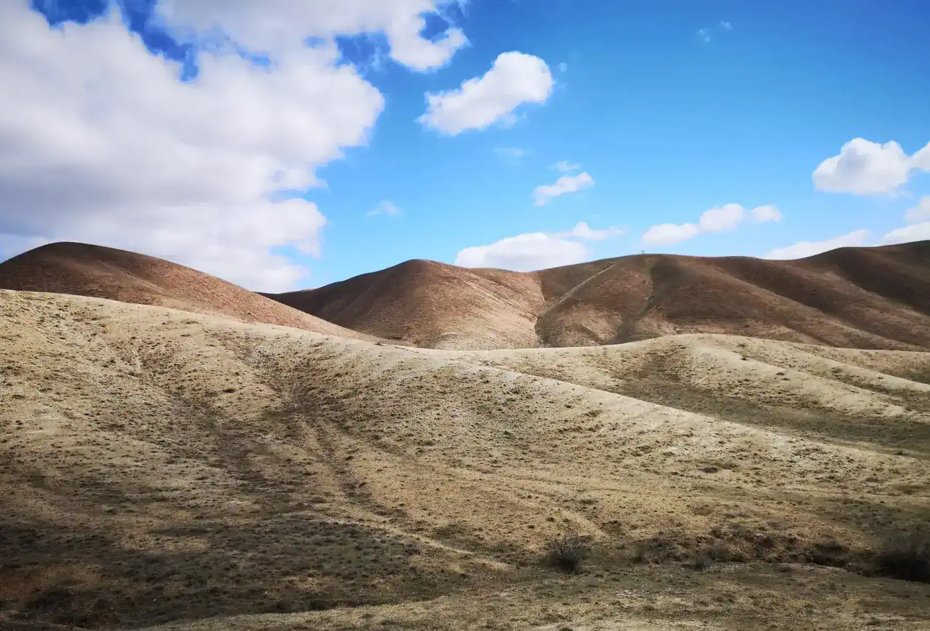
The landscape changes considerably throughout the year. Its slopes are generally dry and rugged, with grassland and shrub vegetation appearing more prominently during the cooler and wetter months. By late spring and summer, much of the vegetation becomes noticeably drier, giving the mountain a more semi-arid appearance. This seasonal contrast makes Yerakh particularly interesting for visitors exploring the changing landscapes of the Ararat region.
Yerakh also has ecological importance. The mountain range is associated with one of the very limited known populations in Armenia of Arenaria brachypetala, a plant listed as Critically Endangered in the country's Red Data Book. The species has been recorded in the Yerakh mountain range and on nearby Mount Ilkasar. It grows on dry, rocky slopes and is particularly vulnerable to agricultural activity and livestock grazing.
The surrounding mountain landscape is also connected with the wider natural environment of the Khosrov Forest area. Official environmental documentation includes the Yerakh Mountains and their foothills among the mountain formations associated with this broader protected landscape. However, the entire Yerakh mountain is not necessarily part of the Khosrov Forest State Reserve, so the two should not be treated as identical areas.
Several hiking routes lead toward the 1,419-meter summit. Routes starting from nearby settlements, including Kaghcrashen, have been used for organized hikes. Depending on the starting point, the route can involve several hundred meters of elevation gain and around 11–15 km of walking. Some excursions are specifically organized around sunset, when Mount Ararat becomes particularly prominent from the mountain.
The area is generally more comfortable for hiking during the cooler seasons. Winter, early spring and the period before the onset of the intense summer heat offer more favorable conditions, while the landscape becomes considerably hotter and drier during the summer months.
The name “Yerakh” is also used for the nearby Yerakh Pass, which appears in Armenia's official geographical naming records. Although the Armenian word yerakh has meanings associated with a mouth or opening, no reliable source currently establishes a definitive explanation for why the mountain itself received this name.
With its proximity to Vedi, distinctive dry landscape, panoramic views and ecological significance, Mount Yerakh offers an accessible introduction to the lesser-known mountain landscapes of Ararat Province.